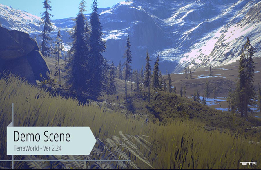
The texturing satellite images can be in high resolution as they get obtained from best mapping sources but of course not enough for close ups, so as you said you will end up with pixelated and/or flat textures on terrain surface.
There are some techniques to overcome the issue.
In Tournament, there are no custom shaders used and it’s only a 25% of blending between the satellite images and a repeating normal map to bring close up details. theoretically doesn’t seem interesting but check out the following screenshot for comparison.
You see that pixelation & flatness is almost gone and replaced by fine high frequency details, we could also lower the resolution of the satellite images to half in texture importer settings to reserve some memory and performance.
However this technique works best for less colored environments as deserts and also loses details at shadowed areas.
Another technique is to use custom shaders so that in certain distances satellite images will be blended by detail textures. There’s a free shader that does this: https://www.assetstore.unity3d.com/en/#!/content/4143
Hopefully TerraLand can automatically generate splatmaps out of satellite images to be used in terrain shaders. Following screenshot shows the outputs of shadowless map, colormap & splatmap (land-cover) from a satellite image using the MapsMaker component.
And last but not least, we are going to release a new product called “TerraEnhancer” which does all necessary and high end modifications to your terrains to bring the best looking terrains both in shape and visual rendering.
TerraEnhancer uses realistic erosion & terrace filters and for the visuals it uses custom terrain shaders to support Parallax Mapping, DX 11 Tessellation, Procedural Textures using noise functions in GPU, terrain deformation, rock & boulder placement and lots of new features. More info will be available upon the product release. We are wrapping up everything for this product and it will be available after releasing TerraLand’s upcoming run-time features.


