


Tutorial Videos
Included Scenes
TerraLand 3 comes with multiple components to create and edit terrains in your Unity scene.
Here are some of the main features in TerraLand 3:
- full source code included
- complete suite to generate, edit, update, resample resolution, smooth, split, stitch, texture, convert to mesh & export terrains
- data file processors to slice very high resolution heightmaps & imagery files into tiles suited for streaming
- image processors to automatically remove shadows, create colormaps and generate splatmaps
- no sign-up needed in external websites or sources
- no tokens from mapping providers are required
- unlimited server requests for heightmap & imagery
- accurate centimeter area selection
- highest resolution global coverage
- features ESRI’s updating community driven data source
- compatible with Unity’s terrain system and any other 3rd party assets
- user-friendly & intuitive user interface
- fastest multi-threading terrain downloads & generation
- never leave unity even in complex projects
- easy to learn with lots of video & documentation resources
- active support through emails and forum posts
- professional community involving in high-end projects
- used in many enterprise and educational projects
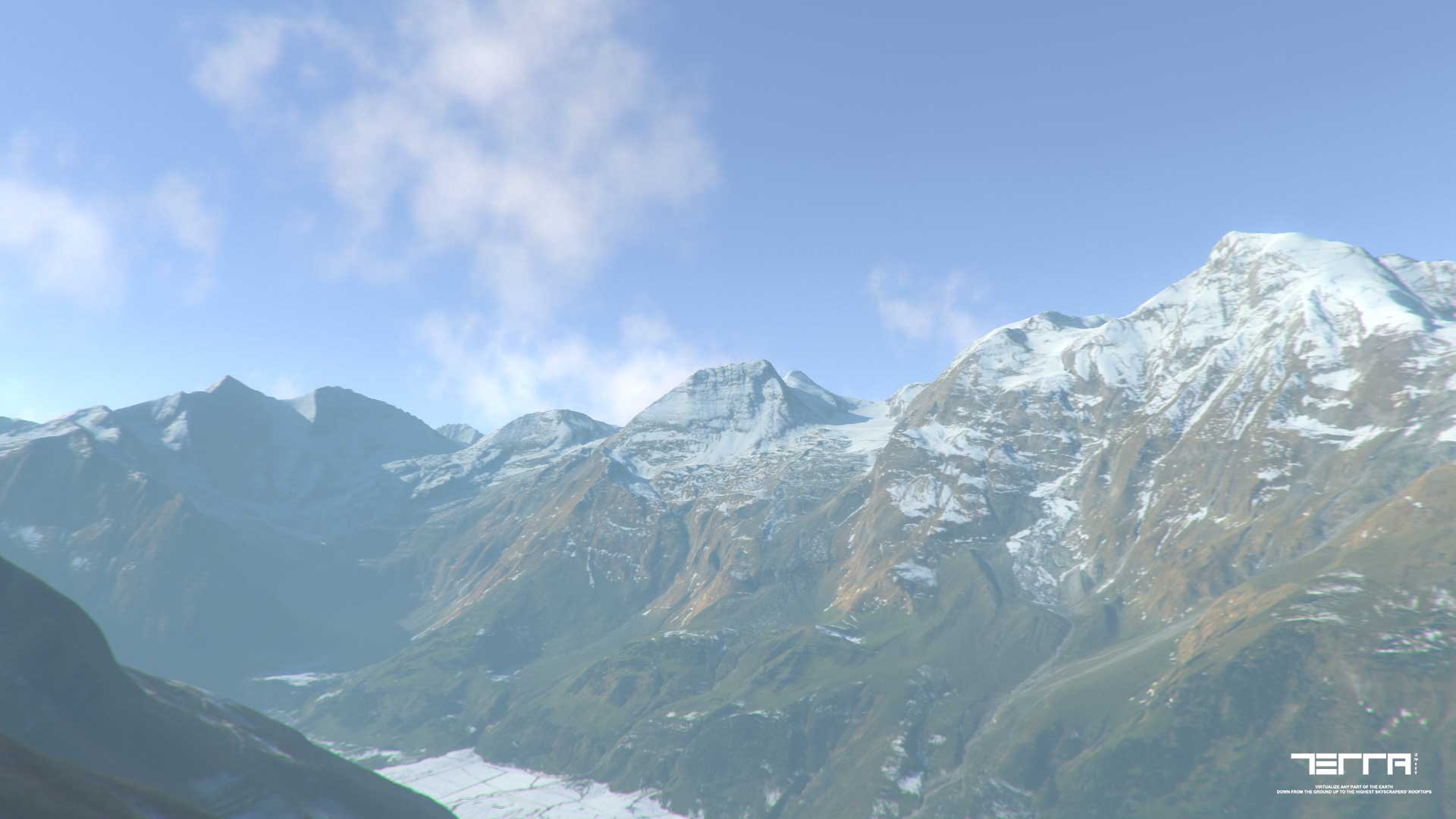
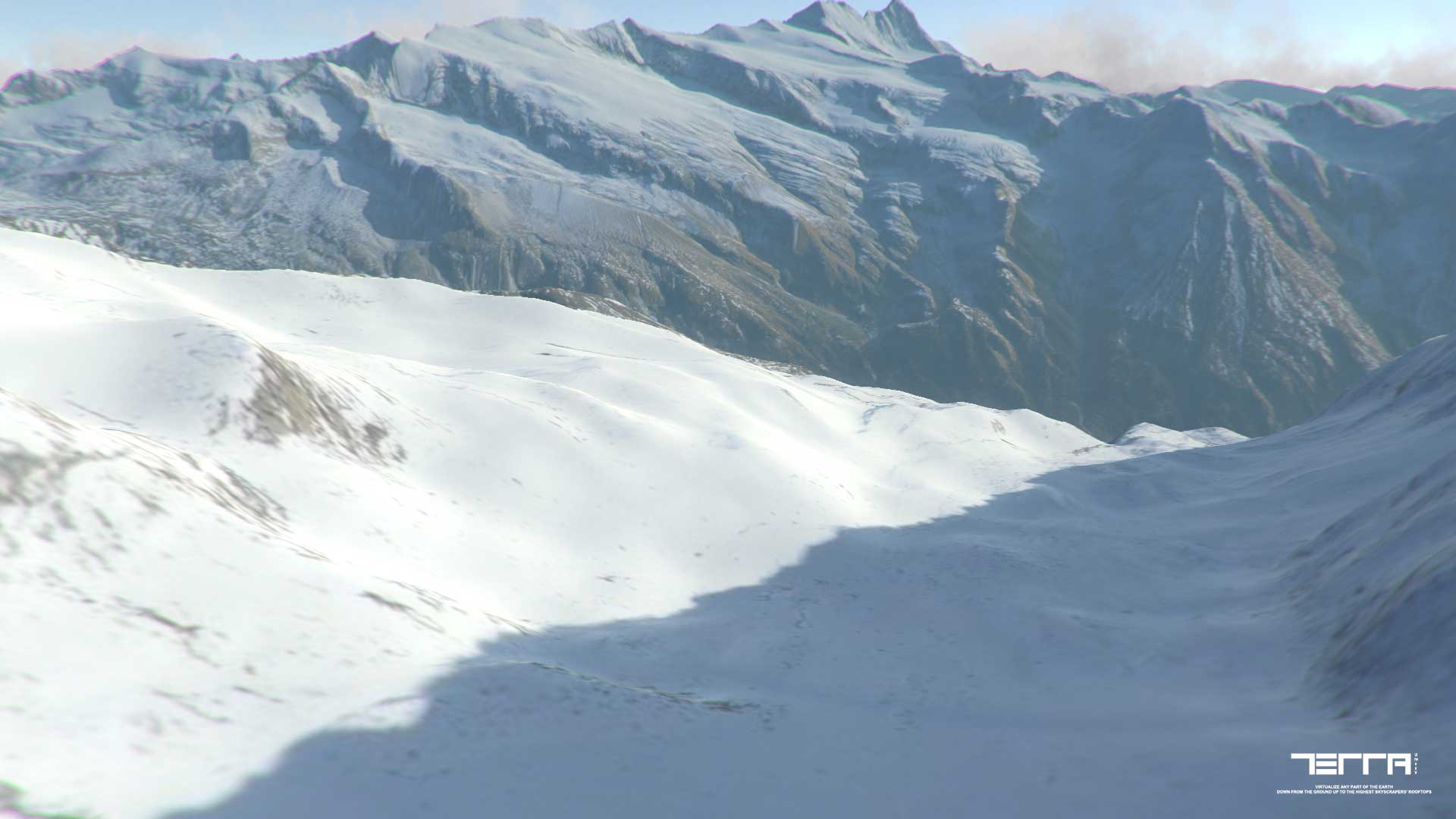
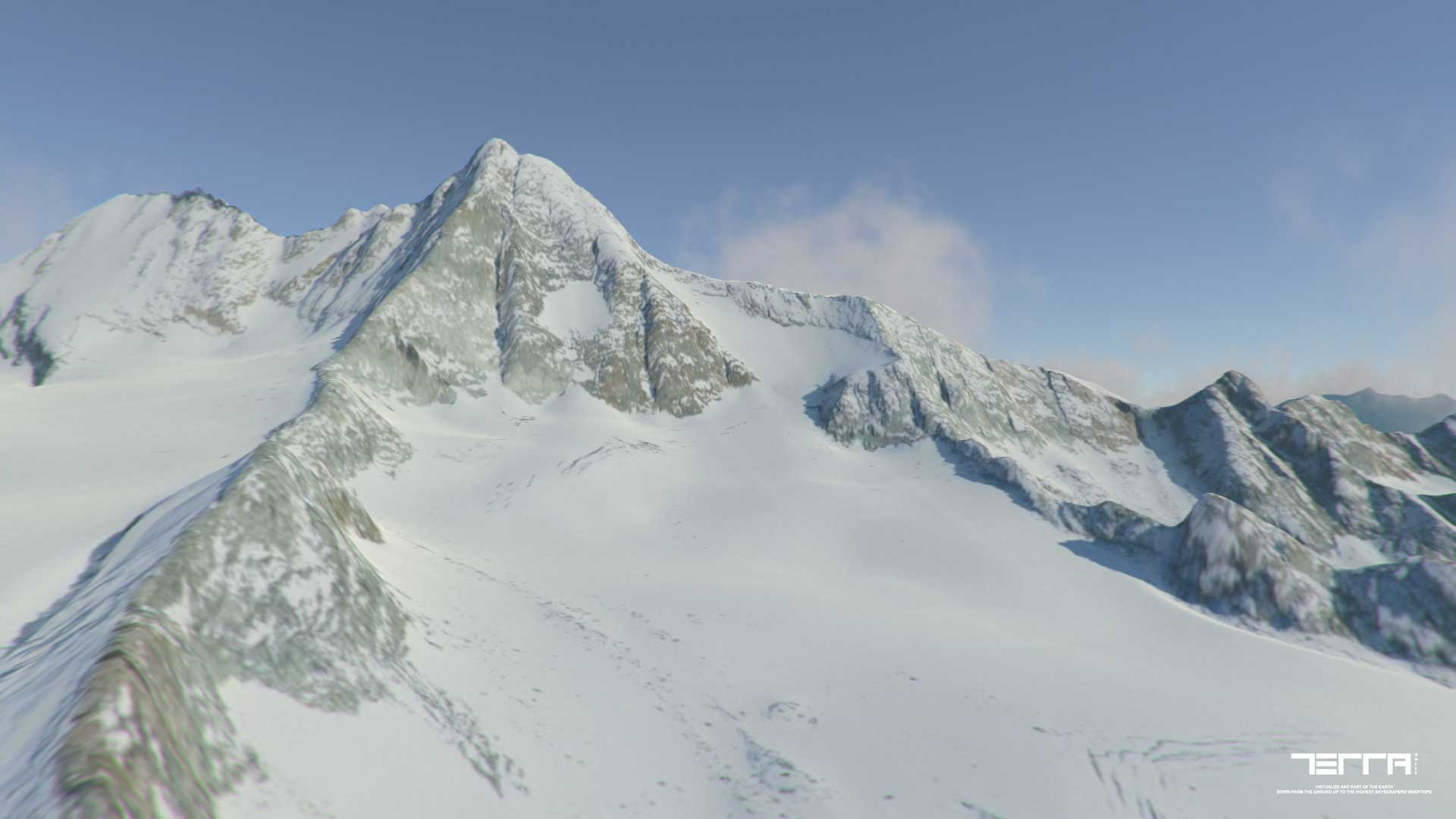
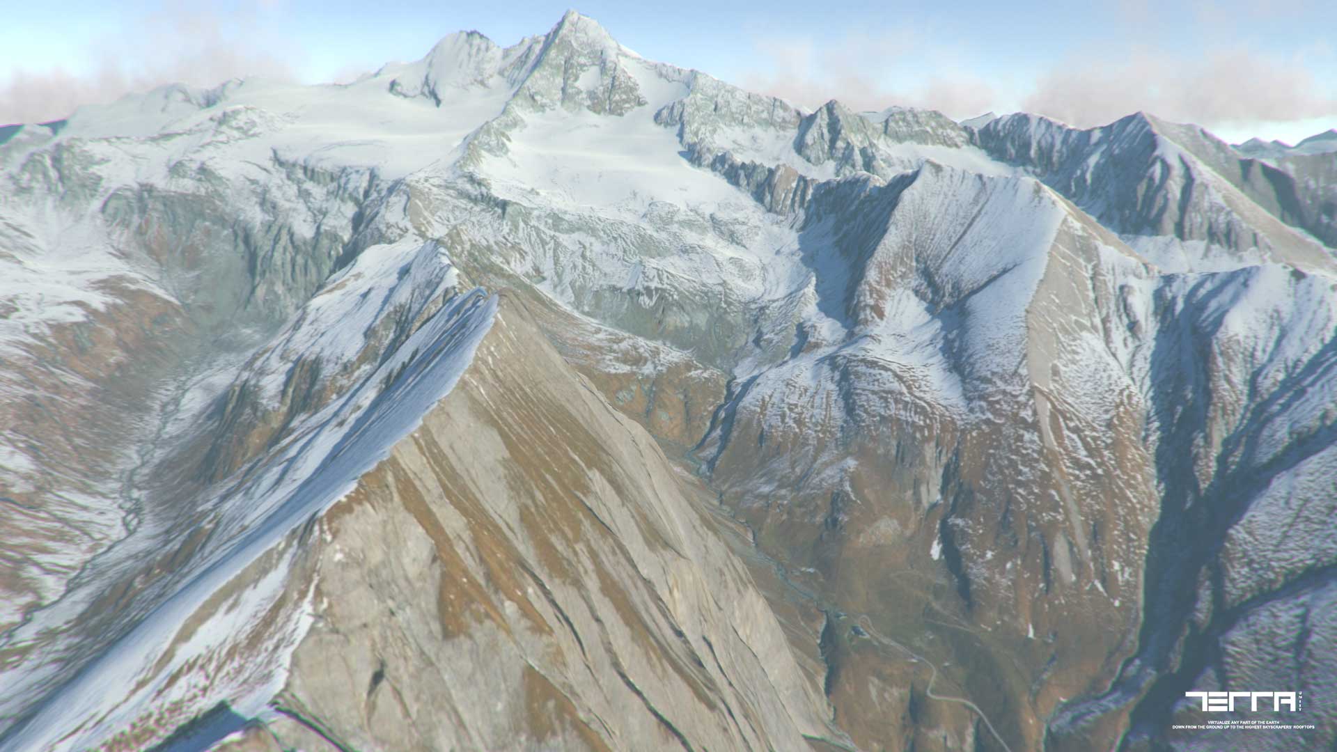
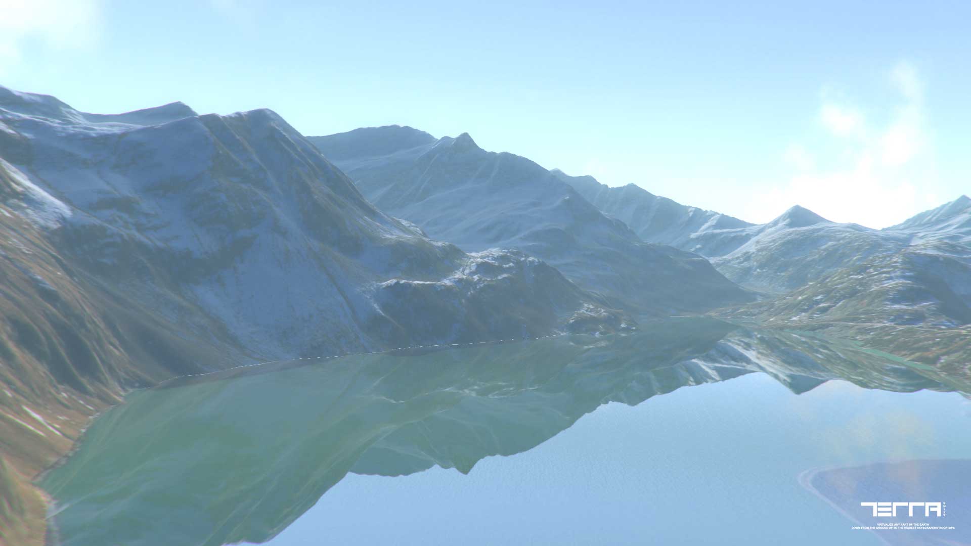
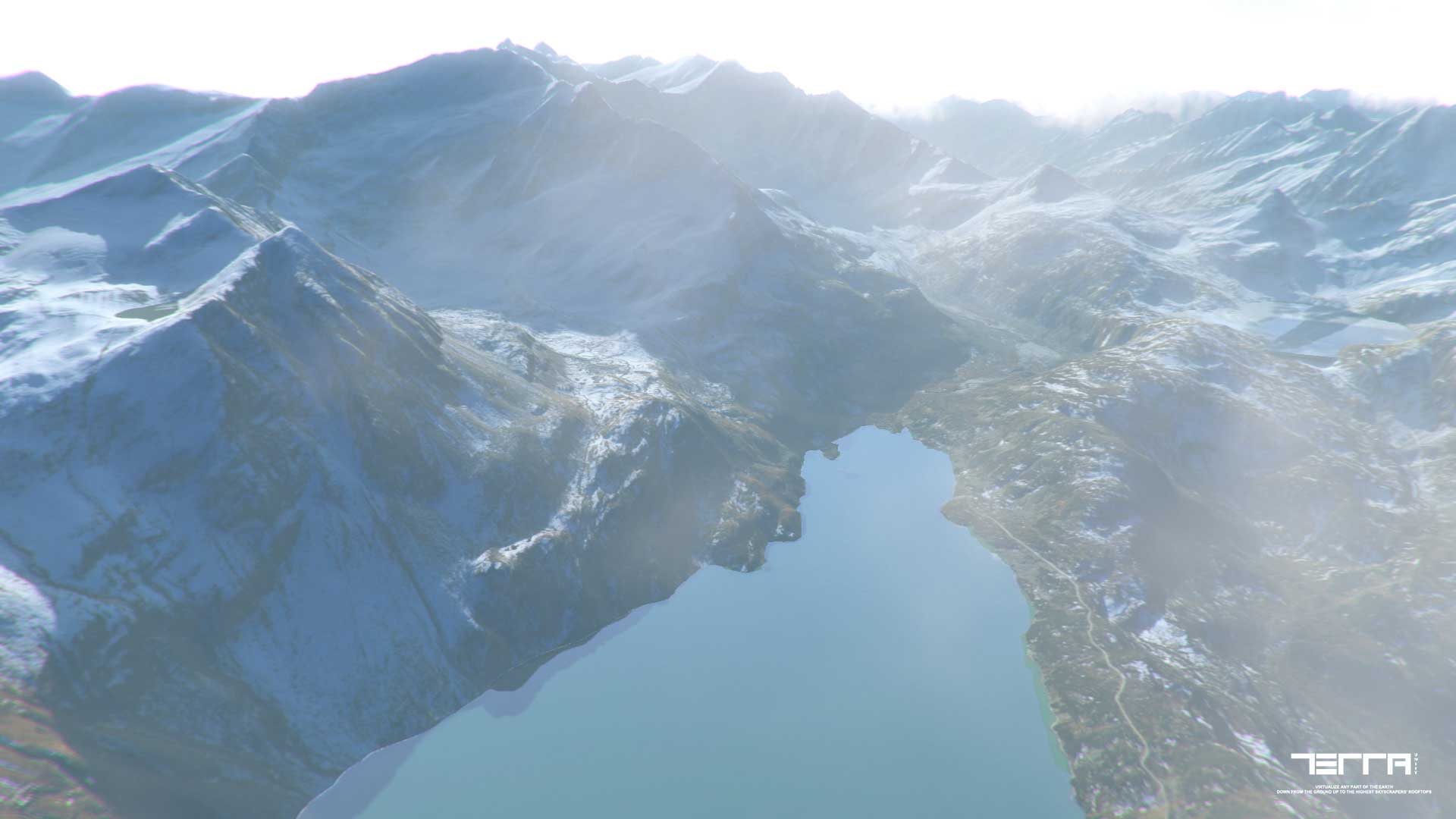
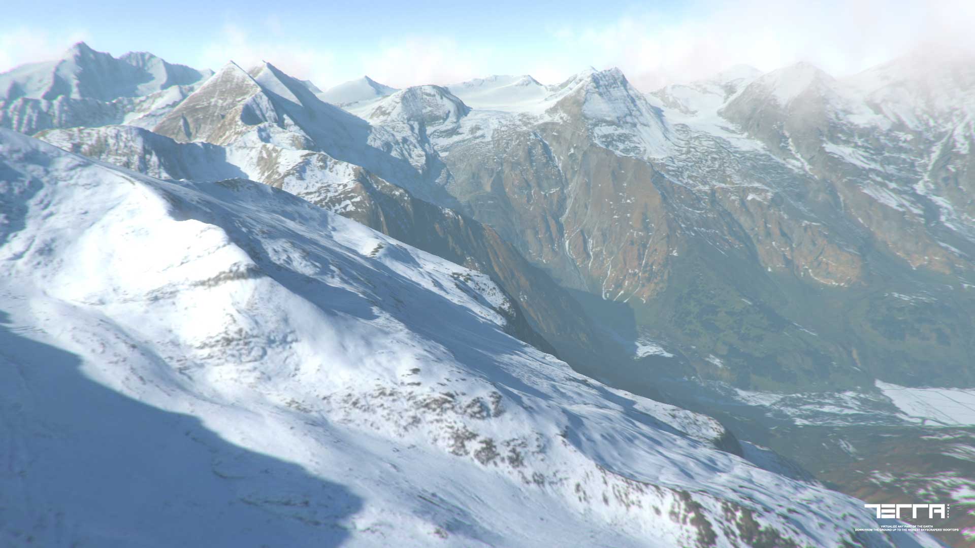
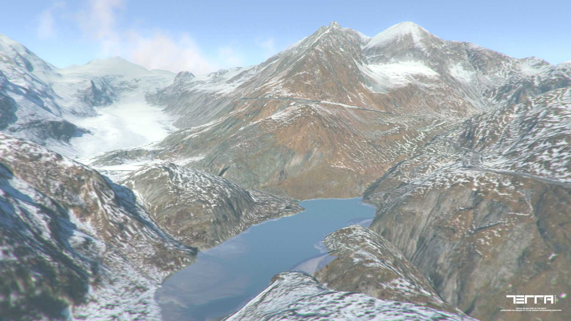
The streaming system in TerraLand takes Unity Terrains to a whole new level where huge worlds will be updated in a smart behavior around the player using combination of multi-threading & coroutine functions without worrying about performance.
TerraLand Downloader
Connects to Elevation & Satellite Imagery servers from ESRI and download needed data for user defined area of interest along with many other options to adjust resolutions and other stuff.
Elevation Data Resolution
The World Elevation services provide online access to global collections of multiresolution, multisource elevation data, or digital terrain models (DTM). This collection includes data with resolutions ranging from over 30 meters to approximately 3 meters in some limited areas.
Satellite Imagery Data Resolution
World Imagery provides one meter or better satellite and aerial imagery in many parts of the world and lower resolution satellite imagery worldwide. The map includes 15m TerraColor imagery at small and mid-scales (~1:591M down to ~1:72k) and 2.5m SPOT Imagery (~1:288k to ~1:72k) for the world. The map features 0.3m resolution imagery in the continental United States and parts of Western Europe from DigitalGlobe. Additional DigitalGlobe sub-meter imagery is featured in many parts of the world, with concentrations in South America, Eastern Europe, India, Japan, the Middle East and Northern Africa, Southern Africa, Australia, and New Zealand. Sub-meter Pléiades imagery is available in select urban areas globally. In the United States, 1 meter resolution NAIP 2013 through 2015 imagery is available (~1:36k down to ~1:4k) across 47 states. In other parts of the world 1 meter resolution imagery is available from GeoEye IKONOS, Getmapping, AeroGRID, IGN Spain, and IGP Portugal. Additionally, imagery at different resolutions has been contributed by the GIS User Community.
Interface Sections
- ENGINE RESOLUTION PRESETS: Simply select predefined resolution for heightmap and satellite images along with number of terrain tiles for downloading and generating terrains in the scene
- OFFLINE DATA: Any terrains that are generated previously can be selected up from here. It can be a single terrain object or a parent game object containing of the terrain chunks as children
- NEW TERRAIN SETTINGS: If no terrains selected in the “Offline Data” section, new terrains will be generated in the scene by adjusting this section’s settings
- AREA LOCATION: Search any location on Earth and finally press “SET LOCATION” as area’s center point
- AREA SIZE: Define metrics of the generating area or insert arbitrary coordinates for the area
- INTERACTIVE MAP: Shows the selected area on map with option of having maps from multiple sources and add placemarks if desired
- HEIGHTMAP DOWNLOADER: Adjust settings of total Resolution of the heightmap, Smooth Steps to remove data resampling and Elevation Exaggeration of the creating terrain heights which also can be set later
- SAVE ELEVATION DATA: You can save elevation data in 3 formats of ASCII Grid, RAW & TIFF for later terrain generation or edit
- SATELLITE IMAGE DOWNLOADER: Adjust settings for the downloading satellite image(s)
- FAILED IMAGES DOWNLOADER: Takes a folder containing of previously failed downloaded satellite images in project due to connection drops and automatically downloads failed images for the area based on the “Terrain Info” file located in this folder
Top Tabs
Preset management: Save & load defined settings in the interface.
Terrain Bounds: Defined area’s Top, Left, Bottom & Right coordinates in Decimal Degrees format
Options: Edit generated terrains’ Vertical Factor/Heights.
TerraLand Terrain
A collection of multiple processors needed for terrain management in the scene.
Interface Sections
- OFFLINE DATA: Loads elevation data in 3 formats of ASCII(asc), RAW(.raw) & TIFF(.tif) and project it to new or existing terrains regardless of the resolution of the data itself or terrain resolutions and also regardless of terrains count. The engine is flexible in any forms and calculates and resamples data to any given condition and properly generate terrains from the inserted elevation data.
Any terrains that are generated previously can be selected up from here. It can be a single terrain object or a parent game object containing of the terrain chunks as children
- NEW TERRAIN SETTINGS: If no terrains selected in the “Offline Data” section, new terrains will be generated in the scene by adjusting this section’s settings
- TERRAIN NEIGHBORS: Sets the terrain neighbors if lost or doesn’t exist at all
- TERRAIN SPLITTER: Splits selected single terrain to the user defined grid size
- SMOOTHEN TERRAIN HEIGHTS: Smooth out terrain heights if there are jagged edges on the surface
- EXPORT ELEVATION DATA: Exports elevation data in 2 formats of ASCII & RAW from the selected terrains
- IMAGE TILER: Takes a folder containing of previously downloaded satellite images in project and textures corresponding terrain
- TERRAIN TO MESH: Converts selected terrain(s) to mesh and optionally places it in the scene
- MESH TO TERRAIN: Takes a 3D model/mesh and outputs a terrain with selected resolution in the scene
- GEO-COORDINATES CONVERTER: Converts DMS (Degree, Minute, Second) to DD (Decimal Degrees) coordinate systems and vice versa
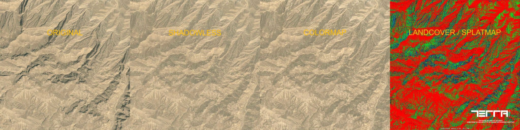
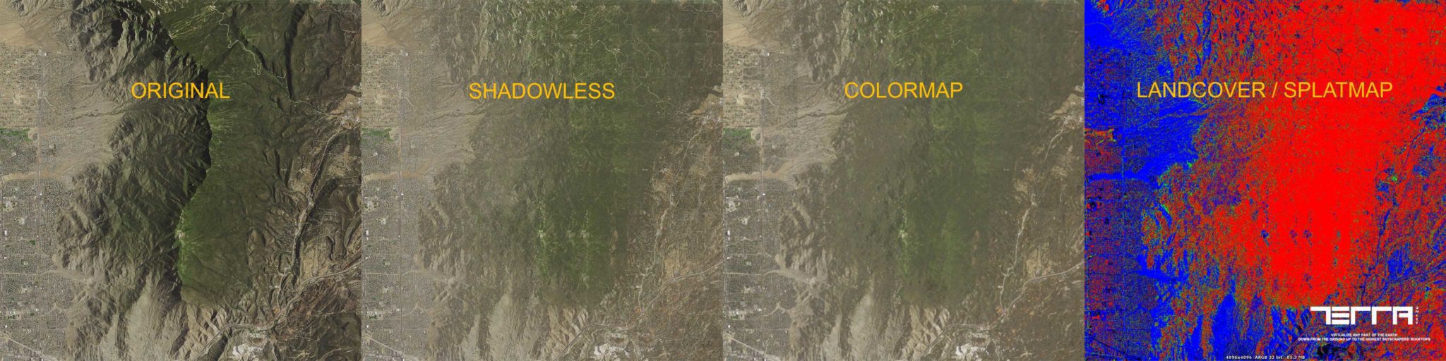
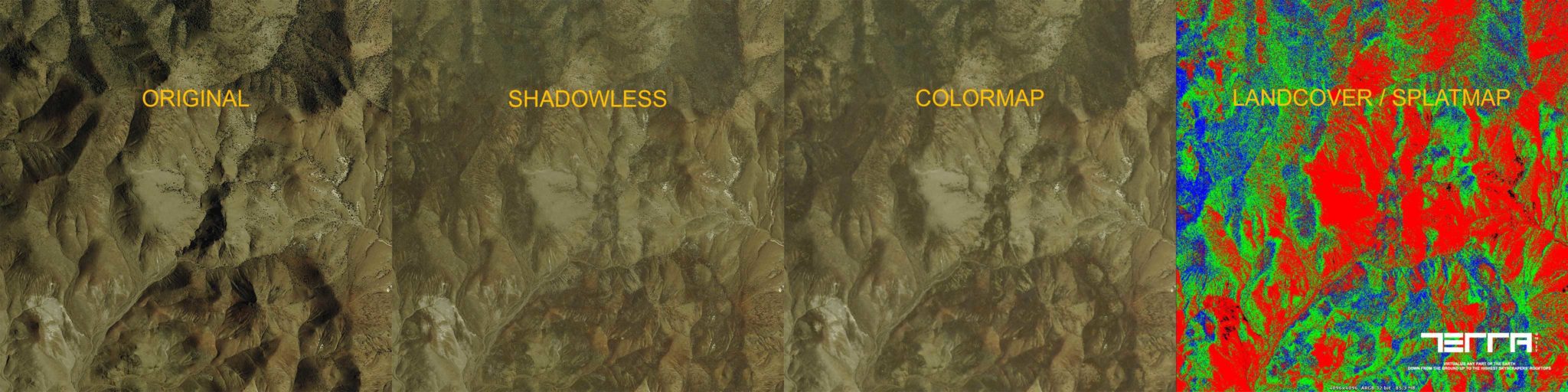
TerraLand MapsMaker
Does image processing on satellite images and maps. It takes a satellite image and outputs 3 map types of Shadowless map, Colormap & LandCover (Splatmap). It’s still in Beta but new features and enhancements will be added to this component in the future.
Interface Sections
- PROCESSING IMAGE: Takes the satellite image for image processing and map creation with a Display Image window for zooming
- SHADOW REMOVER: Takes a shadow color from corresponding image and removes shadows from the image. The process operates the shadow removing based on the selected color’s brightness
- COLORMAP GENERATOR: Removes small details from the image and generate a colormap (Alpha)
- LANDCOVER GENERATOR: Filters top used colors in the image and generate a landcover/splatmap from the image. You can manually select filter colors and options or set it to “Automatic Mode” to automatically generate filters for you
Top Tabs
Preset management: Save & load defined settings in the interface.