TerraLand plugin contains of multiple components which use GIS data & coordinates to load & create Photo-Realistic Terrain from any part of the Earth within a few clicks.
The package is Unity 5.x & Unity 4.x compatible.
Download Help & Documentation Files
Featuring TerraLand Tournament Demo Scene
TerraLand Tournament Is A Driving Simulator In The Desert of White Rim Trail, Utah, USA.
Wanna Try The Game…! Click Here
The Game Can Be Played In 3 Modes of Race, Free Ride & Tour With 3 Vehicles Types of ATV, DPV & SUV Which Have Customized Physics, Sounds & Behaviors.
Full Source Code & Project Files Will Be Available To TerraLand Customers
Already A Customer? Login To Your Account On terraunity.com & Download Project Files
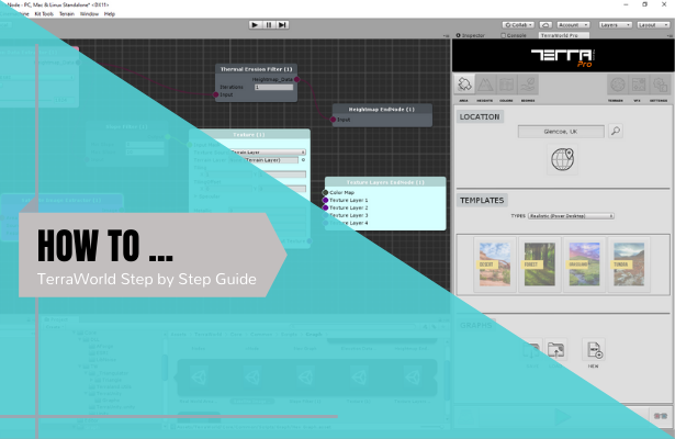
Link To Tutorial Sections
- Intro
- Package Importing
- Loading Component
- Defaults Testing
- OFFLINE DATA
- Downloads Folder
- NEW TERRAIN SETTINGS
- AREA SELECTION
- AREA SIZE
- INTERACTIVE MAP
- HEIGHTMAP DOWNLOADER
- SAVE ELEVATION DATA
- Loading ASCII in Global Mapper
- SATELLITE IMAGE DOWNLOADER
- FAILED IMAGES DOWNLOADER
- PRESET MANAGEMENT
- TERRAIN BOUNDS
- OPTIONS
- Terrain Neighbors Script
- ENGINE RESOLUTION PRESETS
- Sample Environments by TerraLand
Connects to ESRI Elevation & Satellite Imagery servers and download needed data for user defined area of interest along with many other options to adjust resolutions and other settings.
- Global Elevation & Satellite Imagery support for downloading
- Highest available Elevation data resolutions ranging from over 30 meters in most of the Earth areas to approximately 3 meters in some limited areas. More Info
- Highest available Satellite Imagery provides 1 meter or better Satellite and Aerial Imagery in many parts of the world & lower resolution satellite imagery worldwide. More Info
- Bathymetry data included to create above & below (negative values) sea-level heights mixed for the final heights. More Info
- Multi-Threading operations for faster & synchronous job handling
- Create, update & edit terrains right within the scene
- Multiple or single terrain chunk support for both Elevation & Satellite Imagery
- Built-in Geo-Coder to search any location on Earth
- Built-in Interactive Map can preview selected area using Google, Bing, OpenStreetMap, MapQuest, MapBox & Yandex with 35 style variations
- Analysis Maps Downloader can get terrains’ Slope, Aspect, Hillshade & Elevation maps up to 8192 resolution on the fly
- User-Friendly area definition by real-world metrics or geo-coordinates
- Heightmap/Elevation data downloader with complete resolution flexibility & other various options More Info
- Satellite Imagery downloader with lots of options to define resolution quality & import settings More Info
- Save Elevation & Imagery data for later usage in projects or external GIS software
- Can save elevation data in 3 formats of ASCII Grid, Raw & Tif along with projection (.proj) files
- Satellite Images will be saved in Jpeg format with compression quality modifier
- Automatic failed images downloader due to connection drops during the downloads
- Predefined resolution presets for elevation & imagery to automatically set final terrain quality
- Generated Terrain(s) can have up to 8192 heightmap resolution to override Unity’s limitation and achieve high resolution terrain surfaces
- Each downloaded Satellite Image/Texture can have up to 4096 resolution and unlimited resolution for the entire terrain(s) as much as GPU can handle
- Elevation/Vertical Exaggeration modifier to set final heights. TerraLand automatically rescales terrains based on Real-World area size (value of 1)
- Preset Management to save any user adjustments made in the UI
- Run-Time “Terrain Neighbors” script to handle terrain neighboring during the gameplay
Interactive Map
In-Editor Preview option of downloaded visual maps
A collection of multiple operations needed for terrain management in the scene.
- Loads any previously downloaded elevation data files of ASCII, Raw & Tif
- Applies elevation data to new or existing terrains regardless of the data resolution or terrain(s) resolutions through complex resampling operations
- Sets terrain neighbors if lost or doesn’t exist at all for seamless LOD & Tessellation between terrain chunks
- Splits selected single terrain to the user defined grid size
- Smoothen out terrain heights if there are jagged edges on the surface
- Exports elevation data in 2 formats of ASCII & RAW from the selected terrain(s)
- Image Tiler which takes a folder containing satellite images in project and textures corresponding terrain(s) More Info
- Terrain To Mesh converts selected terrain(s) to mesh and optionally places it in the scene
- Mesh To Terrain takes a 3D model/mesh and outputs a terrain with selected resolution in the scene
- Converts DMS (Degree, Minute, Second) to DD (Decimal Degrees) coordinate systems and vice versa
A newly introduced component to do image processing on satellite images and maps. It takes a satellite image and outputs 3 map types of Shadowless map, Colormap & LandCover (Splatmap).
- Shadow Remover can remove shadows from the Satellite Images through complex image processing operations
- Colormap Generator can remove small details from the Satellite Image and generates a colormap
- LandCover Generator Filters top used colors in the image and generate a landcover/splatmap from the image