Theoretically there is no limit for the total resolution of heightmaps and textures in a single static scene in the editor before your computer explodes ![]() as you can spread data over terrain chunks.
as you can spread data over terrain chunks.
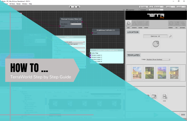
The following description provides needed info for generating large static scenes in Editor (not run-time):
No matter what the original data resolution is, whether the elevation or satellite imagery resolution is 1cm or 1meter per pixel, you have to end up with maximum of 8192 heightmap resolution on each terrain chunk (overriding Unity’s built-in 4096 limitation) and a balance of texture resolution as you desire. You can of course have multiple terrain chunks each having 8k resolution but I don’t think current machines can handle such large data.
Usually it’s OK to limit entire scene’s heightmap resolution below 4096~8192 for large areas.
So in the end, you must crop your elevation data in your favorite GIS software to have a proper resolution corresponding to the target platform.
More info about elevation data resolutions and limitations: http://forum.unity3d.com/threads/te…from-real-world-gis-data.377858/#post-2474445
More info on loading custom elevation data: http://forum.unity3d.com/threads/te…eal-world-gis-data.377858/page-2#post-2599837
For tiling previously downloaded satellite images over your existing terrains, there is the “Image Tiler” section in “TerraLand Terrain” component which takes a folder and tile them on existing terrains. More info HERE and in a few following posts.
To make the custom data geo-referenced in TerraLand Terrain, there must be a xml file in elevation data’s location which holds basic info, The following image shows content of the xml file edited to cover entire Earth in the scale of 1:1,000,000 considering each unit is 1 meter.
Again, the above mentioned conditions are based on a static scene in editor.
But if you have a data & scene streaming system to load/unload terrain chunks in run-time which is what you desire, you are good to go with any size & resolution for your data. Of course the loading of data has to be through a web/offline based server
The good news is that we are now working on run-time features and the initial version will be released in about 2 weeks from now. Using run-time features, you can possibly stream large datasets dynamically on the fly.
The initial version loads data directly from ESRI servers and apply them on terrain chunks dynamically, so the whole Earth will be streamed in the scene.
For custom data file management while you don’t have any streaming server solutions as maybe for your case, maybe we’ll come up with better ideas later and you can also request features if you have any thoughts.